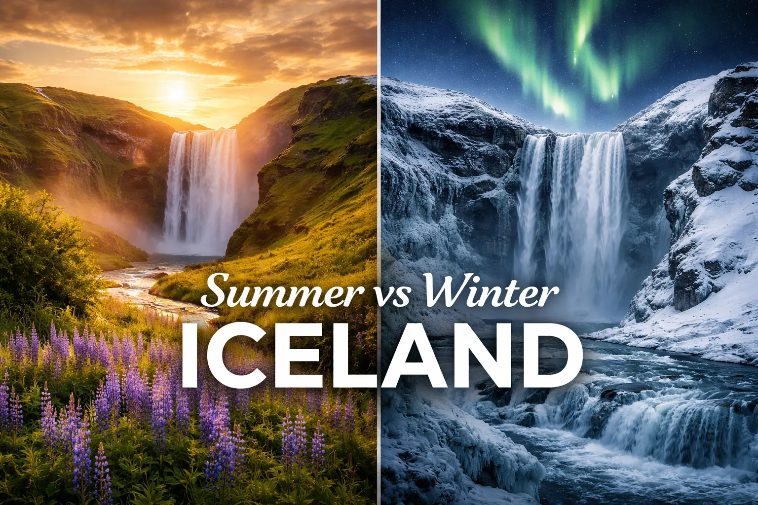
Iceland Drone Photography Guide: Laws, Tips & Best Spots
I’ll never forget the moment I lifted my drone above Kirkjufell for the first time. The mountain looked dramatic enough from the ground — that iconic arrowhead shape rising out of the Snæfellsnes Peninsula like something from a fantasy novel — but from the air, with the twin waterfalls threading silver through the green foreground … Read more