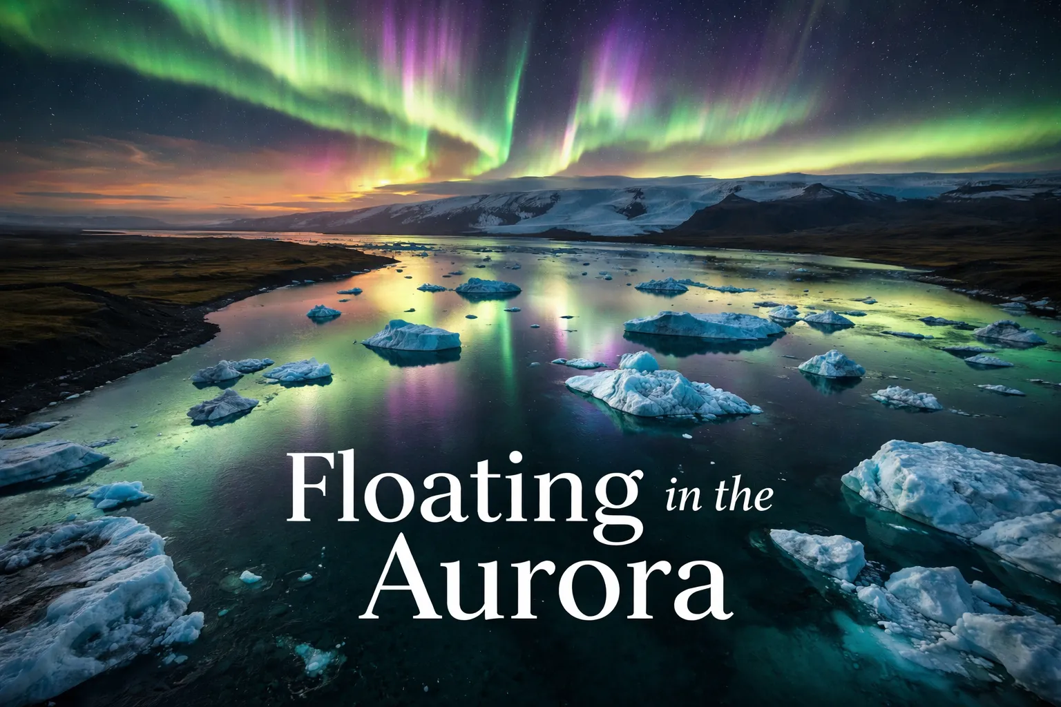
Northern Lights Drone Photography Iceland: Float in the Aurora

Northern Lights Drone Photography Iceland: Float in the Aurora

Primary Locations Jökulsárlón (64.0784° N, 16.2306° W), Kirkjufell (64.9269° N, 23.3063° W), Þingvellir (64.2559° N, 21.1302° W), Vík (63.4193° N, 19.0070° W) Recommended Altitude Range 80–300 meters (vary by composition — icebergs: 120–180m; Kirkjufell: 150–250m; black sand beaches: 80–120m) Best Time to Fly 10 PM – 2 AM local time during active aurora events (KP … Read more
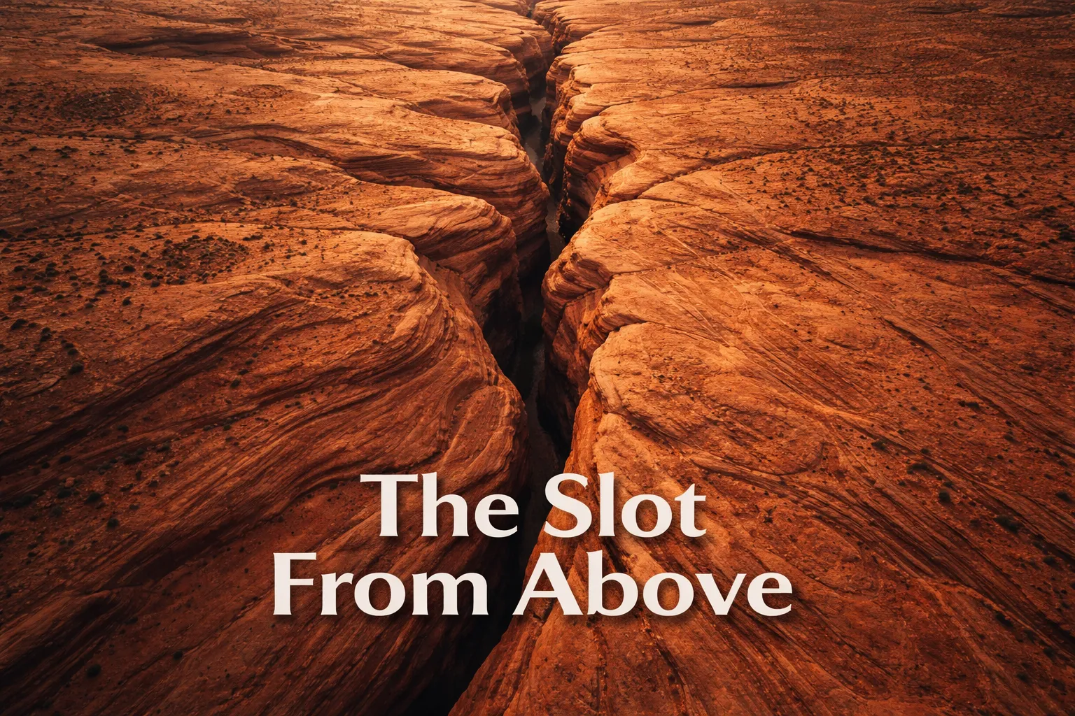
Antelope Canyon Drone Photography: Arizona’s Secret From Above

Antelope Canyon Drone Photography: Arizona's Secret From Above

Antelope Canyon Drone Photography Arizona: What You See When the Canyon Disappears The first time I sent a drone up over the desert plateau near Page, Arizona, I experienced one of the most disorienting moments in my entire aerial photography career. I was expecting to look down at something — a canyon, a chasm, a … Read more

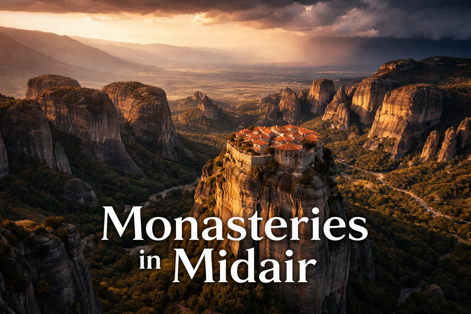
Meteora Monasteries Drone Photography: Greece From Above

Meteora Monasteries Drone Photography: Greece From Above

GPS Coordinates (central Meteora) 39.7217° N, 21.6306° E (near Great Meteoron Monastery) Recommended Altitude Range 100–220 meters AGL for full pillar-and-monastery compositions Best Time of Day Golden hour (6:00–8:00 AM) and one hour before sunset Best Season Late September through November; April through early June Drone Regulations Summary Drones are heavily restricted within 500m of … Read more

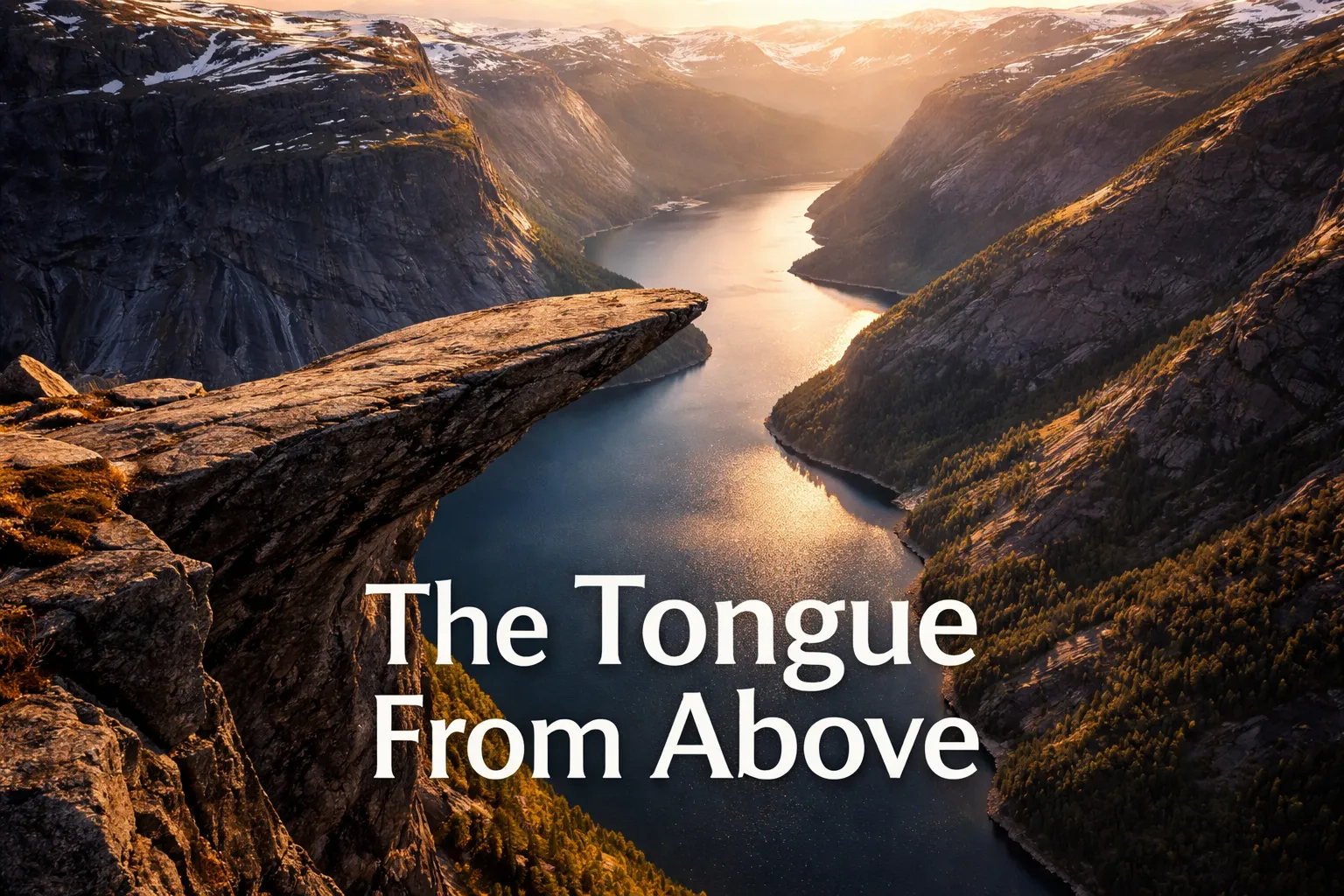
Trolltunga Drone Photography: Norway’s Most Terrifying Cliff From Above

Trolltunga Drone Photography: Norway's Most Terrifying Cliff From Above

GPS Coordinates (Trolltunga) 60.1241° N, 6.7398° E Elevation at the Tongue Approximately 1,180m above sea level Drop Below the Tongue ~700m above Lake Ringedalsvatnet Recommended Altitude Range 50–300m AGL (above ground level) depending on shot; stay below 120m AGL per standard EASA rules unless certified Best Time of Day to Fly Midnight sun window (June–July): … Read more

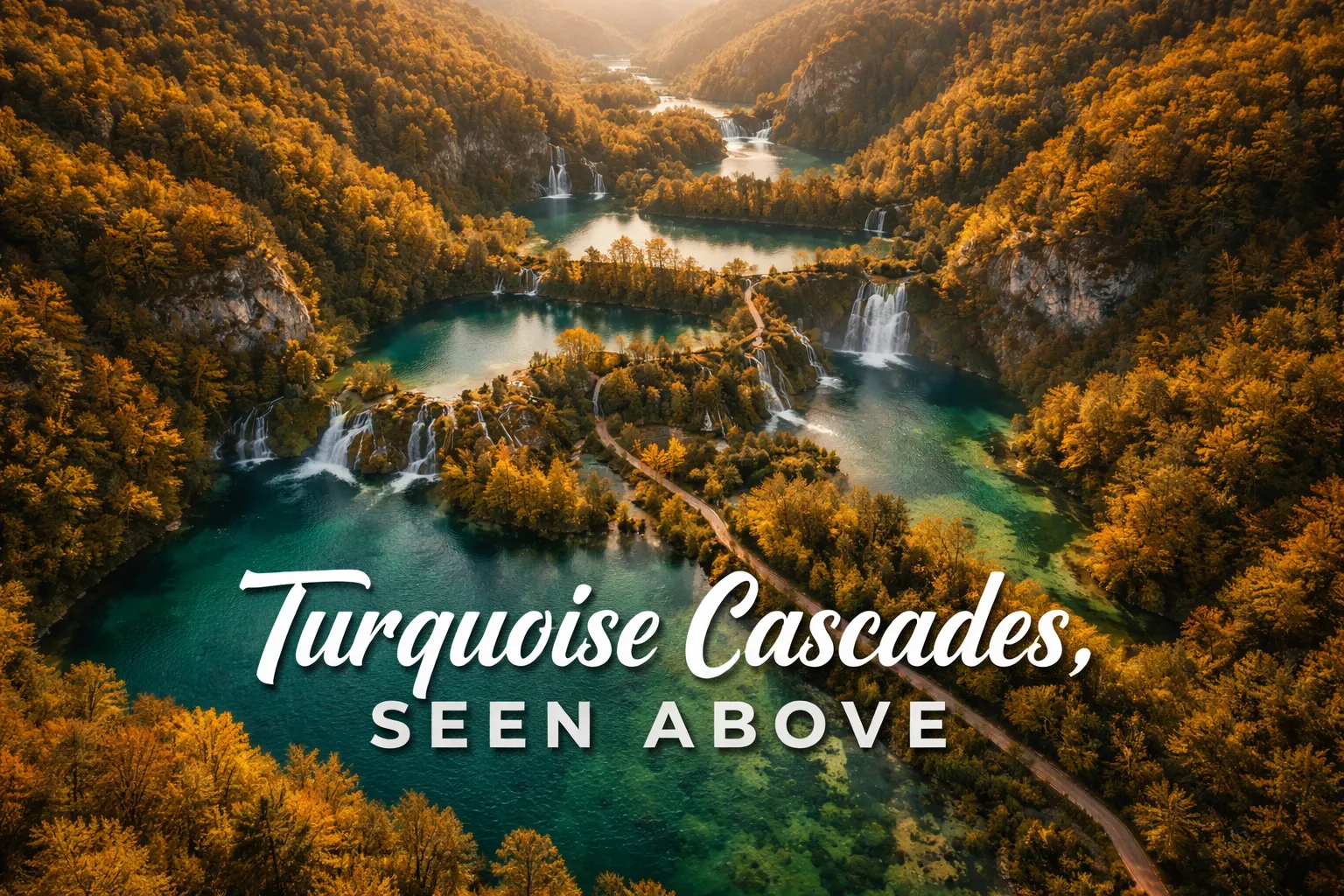
Plitvice Lakes Drone Photography: Croatia From Above

Plitvice Lakes Drone Photography: Croatia From Above

Field Details GPS Coordinates (Park Center) 44.8800° N, 15.6200° E Recommended Altitude Range 80–250m AGL for full lake system; 40–80m AGL for waterfall detail shots Best Time of Day 7:00–9:30 AM (golden hour light hits the water surface at low angles; mist rises off Upper Lakes) Best Season Late April–May (snowmelt maximizes waterfall volume); October … Read more

Zhangjiajie Avatar Mountains: Drone Photography Guide

Zhangjiajie Avatar Mountains: Drone Photography Guide

Zhangjiajie Avatar Mountains Drone Photography: What It’s Like to Fly Above the Floating Pillars The moment my drone cleared the treeline above Yuanjiajie Scenic Area and I looked down at my controller screen, I genuinely forgot to breathe. Nothing — no photograph, no film clip, no description — had prepared me for what zhangjiajie avatar … Read more

Salar de Uyuni Drone Photography: Bolivia’s Mirror Earth

Salar de Uyuni Drone Photography: Bolivia's Mirror Earth

Detail Information GPS Coordinates (center of salar) 20°08′ S, 67°29′ W Recommended Altitude Range 30–150m for mirror compositions; 100–300m for geometric salt patterns and wide landscape shots Best Time of Day to Fly 30 minutes after sunrise (golden light on the salt crust) and 45 minutes before sunset; avoid midday (harsh white overexposure) Best Season … Read more