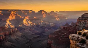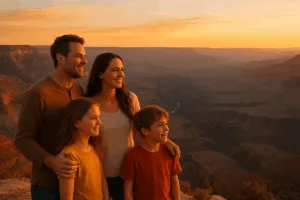
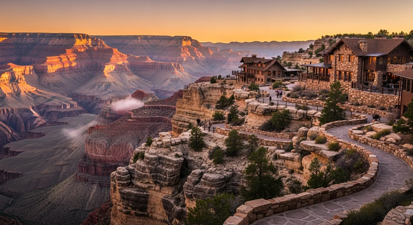
For our tenth anniversary, I asked my partner what they actually wanted — not a dinner, not jewelry. They said: somewhere we’ve never been, somewhere that feels like a story we haven’t told yet. We chose the Grand Canyon’s South Rim, and standing at the edge for the first time, watching the canyon’s layered reds and purples stretch further than my eyes could make sense of, I understood why millions of people keep coming back to this place — it genuinely defies description. The South Rim is the most visited and accessible part of the canyon, offering iconic viewpoints, well-developed amenities, and experiences that work whether you have a single afternoon or a full week to explore. This guide covers everything we learned — and everything I wish we’d known before we arrived — so you can make the most of your own trip.
Why I Couldn’t Navigate the South Rim Without This Map
The South Rim has over 13 miles of rim trails, multiple overlooks that look deceptively similar, and cell service that disappears the moment you actually need directions. A paper map isn’t just backup—it’s essential when you realize you’ve wandered onto a less-traveled fork and your phone is at 3%.
What works
- The scale and detail let you see exactly where you are among the rim trails, which matters when every vista looks vaguely similar and you’re not sure if you’ve already passed that rock formation.
- Elevation gain and trail difficulty are actually marked, so you don’t accidentally commit to a “short walk” that turns into a 2,000-foot descent into the canyon.
- It’s waterproof and durable enough to survive being stuffed in a daypack with sunscreen, a water bottle, and your sweaty hands—I folded mine dozens of times and it held up.
What doesn’t
- It’s bigger and bulkier than you’d expect—not phone-sized, so if you’re minimalist-packing, you’ll feel the weight.
- The tiny print elevation markers require reading glasses or a good eye, and at high altitude with sun glare, you’ll squint like you’re deciphering ancient text.
I almost ditched it halfway through day one, convinced my phone GPS would be enough—until I stood at Mather Point realizing I had no signal and genuinely couldn’t remember which direction the main visitor center was. I pulled the map out of my pack and suddenly knew exactly where I was. Get yourself a National Geographic Trails Illustrated Map of Grand Canyon South Rim.
This post contains affiliate links. As an Amazon Associate, I earn from qualifying purchases at no extra cost to you.